
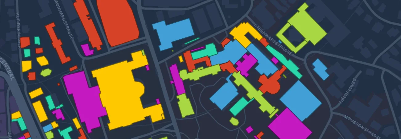
Real maps
The city as your floor plan
Any address, straight from OpenStreetMap — life size, or down to 1:20.
© OpenStreetMap contributors (ODbL); ground by Apple.
Pedestrian simulator
See how a crowd moves through a space you draw.
Built with love in Zurich, Switzerland 🇨🇭
Walky Go on the App Store
Free, on iPhone, iPad and Mac.
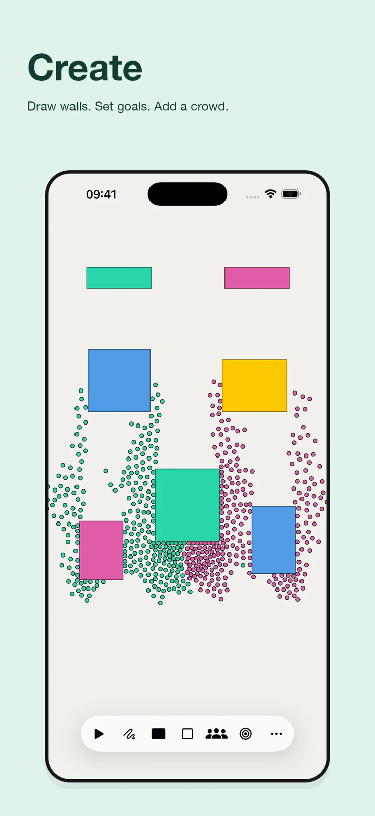
01 Trace a wall. The line closes into a shape the crowd cannot cross.
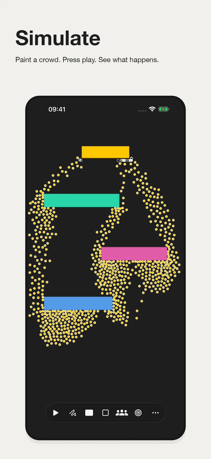
02 Every Walky finds their own way, and rethinks it as you keep drawing.
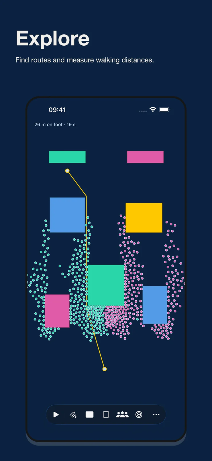
03 Tap two points for the walk between them, in real metres.
What it does
Real maps
Any address, straight from OpenStreetMap — life size, or down to 1:20.
© OpenStreetMap contributors (ODbL); ground by Apple.
Stickers






Apple Intelligence Beta
A sentence in, walls out — laid out on device.
Room scan
LiDAR, at life size. A doorway takes one person at a time.
AirPlay
The map goes to the TV. The controls stay on the phone.
The algorithm
Dijkstra over a visibility graph, rebuilt every time you draw.
The crowd
Everyone picks their own next step, and heads for the goal the fastest way it can.
Share
A .walky file holds the whole map — walls, crowd and settings — and
the same bytes open in the browser. No server, either way.
The engine
The numbers come from the crowd-dynamics literature, not from turning knobs until it looked right.
1.34 m/s
Weidmann's free walking speed. The scale is anchored to a real body rather than to the screen: 56 pixels to the metre.
Dijkstra, re-priced
Routes come from a visibility graph rebuilt from the geometry. The routing notices the crowd every two seconds and re-costs its edges by how long people are actually taking, so they go round their own queues.
Speed · density · flow
The three numbers the pedestrian literature reports, measured live while it runs — so a run can be held against published data.